




Forth
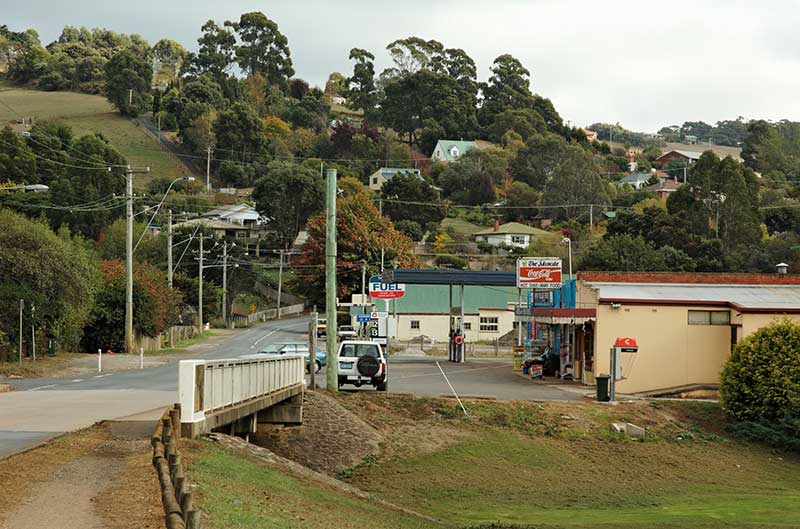
When it comes to small towns in Tasmania, Forth definitely ranks as one of the most scenic, as well as one of the oldest. Nestled on the banks of River Forth, it is only a 13 kilometre drive from the city of Devonport. Being just 'up the road' from Devonport makes it a great place to kick off your exploration of the state if you are arriving by the Spirit of Tasmania.
Forth was the second settlement in the county of Devon (as the region is historically named), with it beginnings in the 1840's even before Devonport was settled. The population of just 350 people makes it the kind of town where everyone knows everybody and you will be made to feel extremely welcome. Many of the original buildings have been replaced since settlement, but there is still a strong sense of history about this old town.
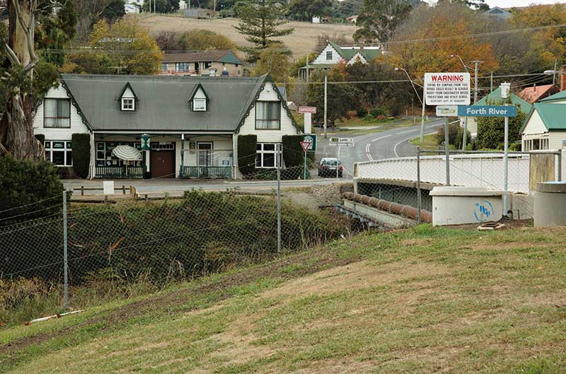
At the hub of Forth's history is the Historic Bridge Hotel, which is one of the town's oldest buildings and still stands in almost its original form. It was first licensed and opened in 1872, and has managed to retain the old world charm and atmosphere of those times of the past. The building is heritage listed and regarded as a national treasure. It is also regarded as one of Tasmania's leading live music venues, with something always going on musically. It's a great place to grab a country cooked meal, enjoy a beer and a good yarn with your mates or the locals.
The Forth Valley Blues Festival is held annually over a weekend in mid March. The Festival usually kicks off at the Bridge Hotel - Forth on the Friday night, with the main event at the Forth Recreation Ground starting at 10am. on Saturday.
The Forth Village Markets feature many unique stalls with local goods and handmade crafts as well as new goods at bargain prices. Its also regarded as a social meeting point too, with morning teas, lunches and dinners available, so a trip to the markets is a good opportunity to meet some of the locals.
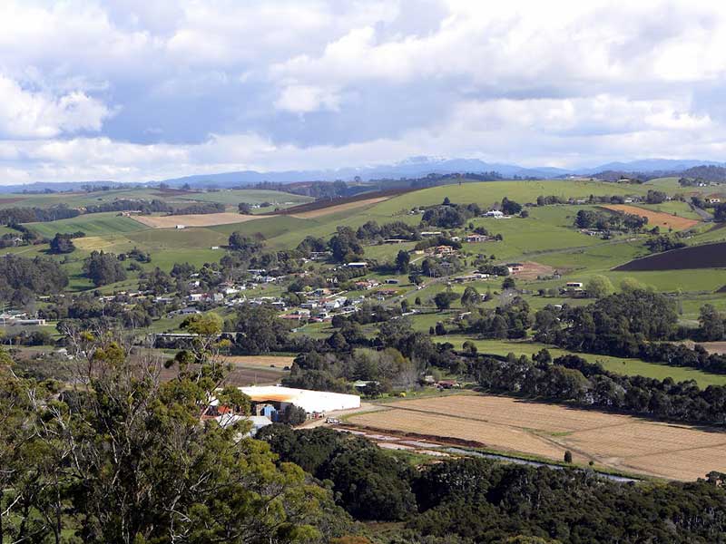
Make sure you take the drive up Braddons Road to Braddons Lookout. This lookout offers stunning panoramic views over the Forth Valley and out towards Turners Beach, Leith and Bass Strait.
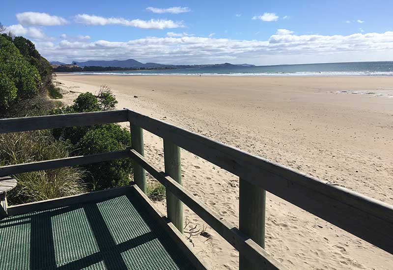
While the Cradle Coast is famously known for iconic Cradle Mountain and wilderness adventures, it also boasts some of the best beaches in Tasmania. Varying in offering and proximity to coastal hubs, one thing remains the same for all: they're serene pieces of beach paradise, untouched by the masses.
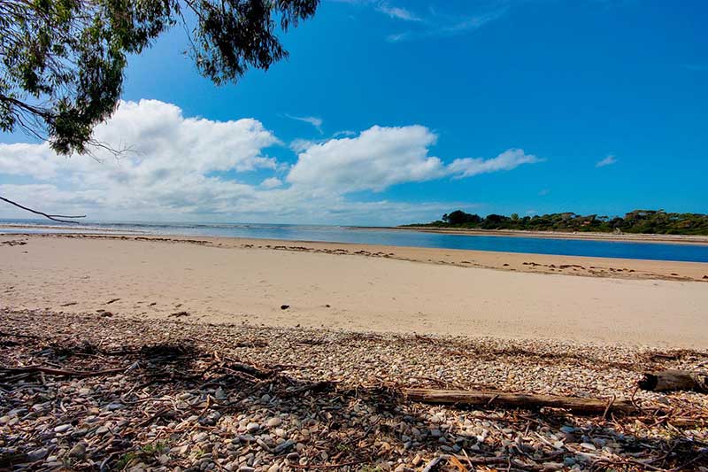
The nearby coastal settlements of Turners Beach and Leith are located where the River Forth meets the ocean. The beaches here and big and wide, with plenty of room for young travellers to stretch their legs and run off some energy. Alternatively, take a stroll in the sunshine. According to the local fishermen, the salmon and mullet run thick and fast in the river mouth of the Forth.
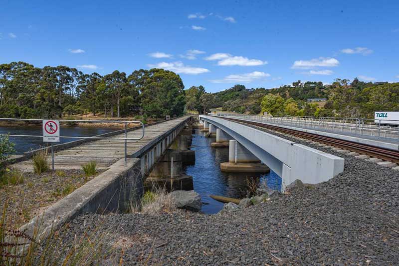
The settlement of Leith stands on the opposite side of the mouth of the Forth River to Turners Beach. Across the river between the two are three bridges - one road bridge carrying Bass Highway, and two railway bridges, the oldest of which is no longer in use. Named by the men who built it in 1885 as the Forth Bridge, after its famous namesake cross the Firth of Forth in Scotalnd, it is one of the oldest movable bridges in Australia.
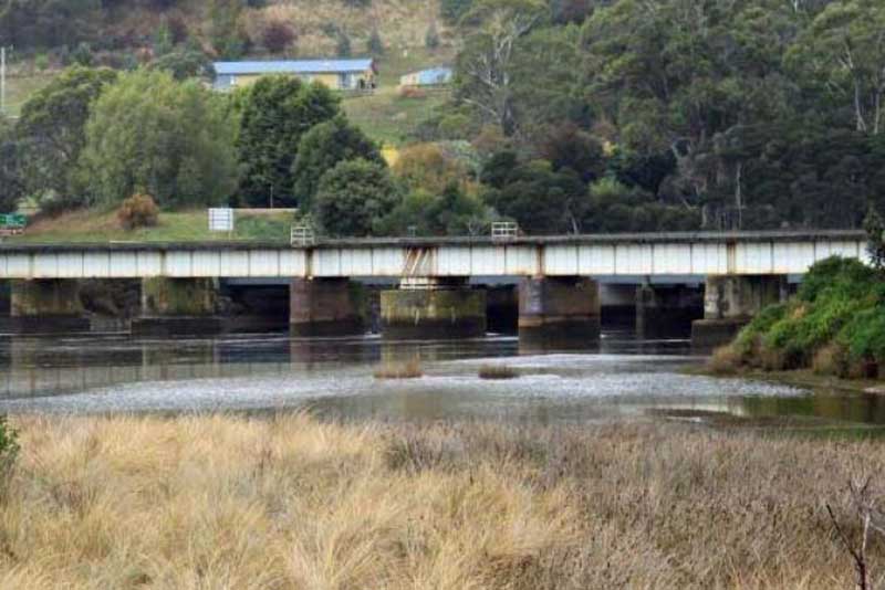
Of the movable bridges listed in the Register of Australian Historic Bridges, only two existing bridges are older - at Bourke (1878) and Sale (1883). Of these, the one at Bourke is a lift bridge and that at Sale, while a swing bridge, has trusses for its primary structural system. The Forth River bridge is, therefore, the oldest remaining Australian bridge of its type. It is also unusual for a movable bridge in being designed for railway use only. Most other movable bridges were road bridges or were combined road and rail bridges.
The bridge has eight metal girder spans totalling 135.4m and this is quite substantial, but the primary significance is the bridge's metal girder swing span, 2 x 12.8m.
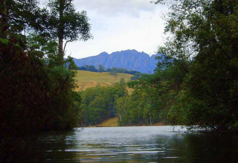
Lake Barrington is an attractive 20 kilometre long expanse of water formed by the Devils Gate Dam wall - a great place for all the water-based activities you could possibly think of. It is also renowned for its 2 kilometre long international standard rowing course, where many competitions are held. There is a large recreation area hugging the foreshore which is home to a diversity of wildlife, and accommodates visitors perfectly with picnic, recreation and restroom facilities. Ideal for long summer days, there is also plenty of facilities that will accommodate you for camping here. This is a great experience that you won't soon forget.

View toward Mt Roland from Kindred
As you enter Forth from Turners Beach, there is a road off to the right signposted to Kindred, a little village about 7 kilometres away. Take this road and you'll find yourself on a delightful drive through lush farmlands and rolling hills. Kindred got its name because so many of the early settlers became related to one another through marriage. When they first settled there, the hillsides were nearly all covered in heavy scrub and dense bush. The soil is rich, though the country is steep in places and good crops have been grown.
In 1865 land for a church was donated by John Arnold, the first building was constructed of palings and had a shingle roof In 1866 there were 28 children attending Sunday school. The Church was closed for worship on Sunday 23 March 1980 and was relocated to Sprent in 1984. Kindred Community Hall is the most prominent building in the village today.
Two splendid waterfalls are on the large creek, one cascade being 20 metres high, the other is very wide. Both are today on private property with no public access.

Sprent
Continue westward along Kindred Road towards Sprent. Upon reaching Castra Road, it is a short drive to the village of Sprent, which these days is a collection of mainly abandoned buildings that are silent witnesses to a small but thriving farming community that once existed here.
Sprent is named after a Scotsman, James Sprent, one of a team of surveyors who took part in the first trigonometric survey of Tasmania in the 1830s for the production of the first map of the whole island. Upon his arrival in Hobart in May 1830, Sprent had established a "public School for young gentlemen", and later lectured on astronomy at the Mechanics Institute. Sprent became the Surveyor-General in 1857. He died 5 years later, age 55.
The drive north from Spent on Castra Road takes you back down to the coast and the town of Ulverstone 13km away.