






Forestier Peninsula Walks
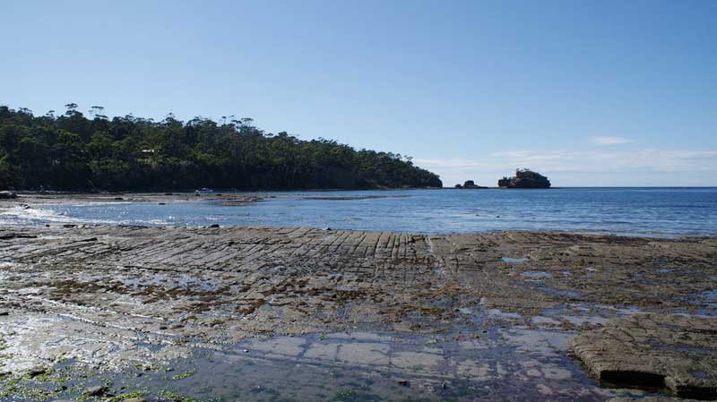
Forestier Peninsula is connected to the mainland at East Bay Neck, near the town of Dunalley at its northern end. At Eaglehawk Neck, the southern end of the Forestier Peninsula is connected to the Tasman Peninsula. The peninsula measures about 20 by 15 kilometres.
Click or tap a heading below for more information. Click or tap the heading again to hide the information
Sisters Rocks
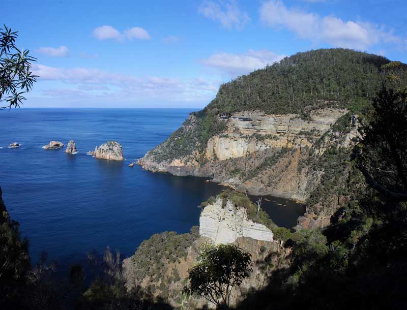
The start of the walk is in Richardsons Road, Murdunna on the Forestier Peninsula. Turn off the A9 into Hylands Road at Murdunna and follow this until it becomes Richardsons Road and drive along this until an obvious parking area is reached at 577450 5245982. If the gate is open it is possible to drive further along and park near the start of the track. The track was easy to follow and after a few ups and downs you will reached Cape Surville where there were some great coastal views.
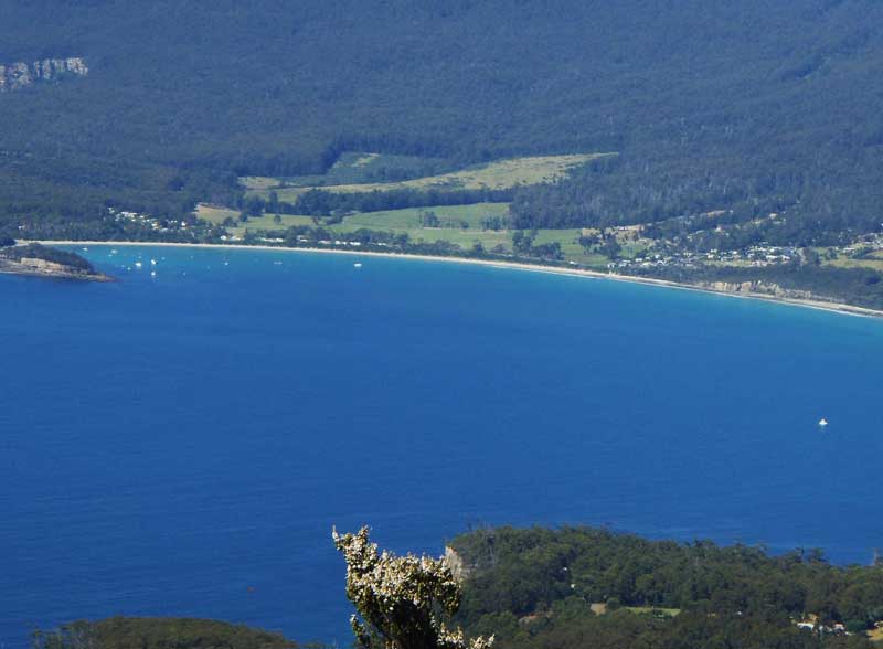
At 591 metres above sea level, Mc Gregor Peak is one of the highest points on Forestier Peninsula. The start of the walk is off the Arthur Highway, 5.2km south of Murdunna down a forestry road with a sign marked 'Forestier State Forest'. A signpost at a forestry gate marks the beginning of the 3 hour return walk. The track leads to a trig marker at the summit, near which a large rock provides views to Tasman Island, Cape Pillar, Hippolyte Rock, Cape Hauy and Norfolk Bay. This is the premium spot on the hike for scenic vistas.
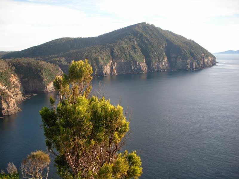
The High Yellow Bluff walk is one of the more challenging day walks on the Forestier Peninsula. There are some rough steep and rocky sections and part of the walk is over a taped route with no formed track. You can either begin from the Hylands Road carpark and walk the 3kms along Richardsons Road to the start, or drive and park near the beginning of the track. It is a 3 hr return walk from there.