

Crotty Dam and Lake Burbury
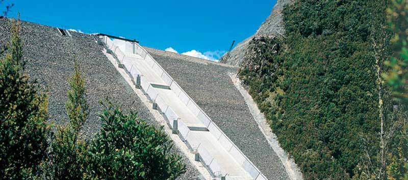
The upper portion of the King River valley was first surveyed for damming in 1917 by the Mount Lyell company. It was not until after the Franklin Dam issue of the 1980s that Hydro Tasmania proceeded to dam the valley. Lake Burbury was the name of the subsequently created lake over the valley, named after the first Australian born Governor of Tasmania, Stanley Burbury. The small timber mill community adjacent to the old alignment of the Lyell Highway was submerged, as was a significant portion of the old railway alignment of the North Mount Lyell Railway between Linda and Pillinger. The site of the townsite of Crotty, and the smelters of Crotty were also submerged.
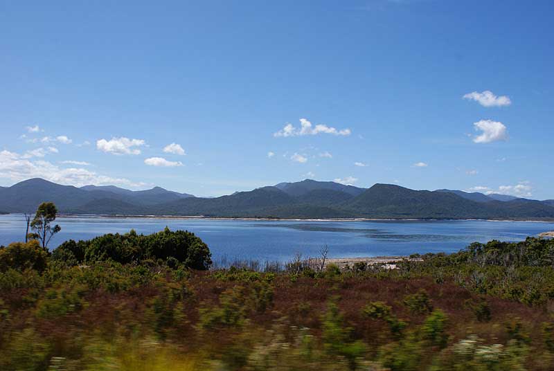
Lake Burbury
Lake Burbury is popular as a fishing lake, but is susceptible to extreme weather. Its feeder rivers are the upper King, Nelson, Princess, and Eldon Rivers. There are design features in the Crotty Dam to lower the surface level rapidly in the event of severe floodwaters. Situated about 10km east of Queenstown, 235 km from Hobart and 265km from Launceston, Lake Burbury is 235 meters above sea level and has a surface area of 47 square kms. The maximum depth is around 75 meters at the Crotty Dam wall. The average depth is 30 meters.
The Crotty Dam site had been surveyed in the early twentieth century but the proposed dam did not proceed at that time. It was re-visited in the 1980s and involved the last major dam construction by Hydro Tasmania. The lake has the 'Bradshaw' bridge crossing it to connect the Lyell Highway across it, and has two dams - one in the King River Gorge - the Crotty Dam, and the other adjacent to Mount Darwin, the Darwin Dam. The water captured by Crotty Dam is piped down to the John Butters Power Station which is close to the confluence of the King River with the queen River.
The dam is operated by Hydro Tasmania, known for most of its history as The HEC, it being the predominant electricity generator in the state of Tasmania. The Hydro is mainly involved with hydro-electricity, with power stations including 27 hydro-electric, one thermal and two diesel power stations. It also has one wind farm in service, with expansion and two additional wind farms in progress of being approved.
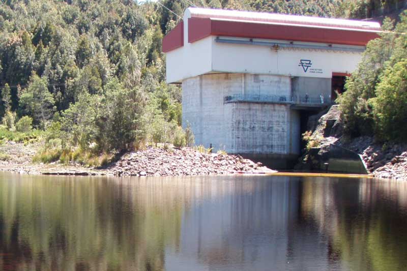
John Butters Power Station is part of the King River Power Scheme in Western Tasmania. It has one Francis turbine, with a generating capacity of 144 MW of electricity, and is remotely controlled from the Sheffield Control Centre. drops around 200 m on its 7 km journey through tunnels to John Butters Power StationWater is fed from Lake Burbury which is dammed by the Crotty Dam in the gap in the West Coast Range between Mount Jukes and Mount Huxley, dropping around 200 metres on its 7 km journey through tunnels to John Butters Power Station.
The power station is named after Hydro Tasmania's first general manager and chief engineer, John Butters. It was one of the last hydro electric power stations built by the HEC before its disaggregation and transformation to Hydro Tasmania.
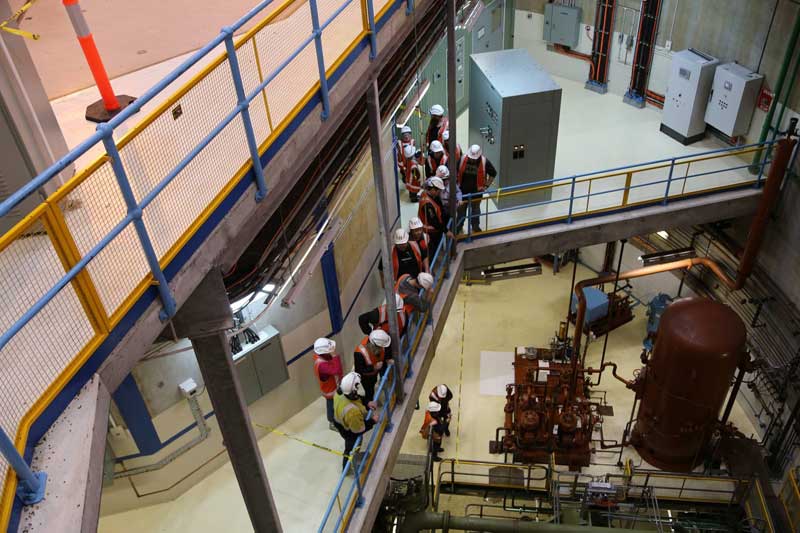
Hydro Tasmania holds its annual power station tours at three major stations - Gordon Power Station; John Butters Power Station; Trevallyn Power Station - every October. Phone 1300 360 441 for information.
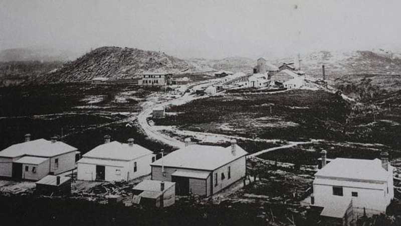
Crotty had a smelter and railway connection with the North Mount Lyell mine in the very early twentieth century. The North Mount Lyell smelters failed, and the company was absorbed by the Mount Lyell Mining and Railway Company. The townsite soon lost population, and the North Mount Lyell Railway which serviced Crotty's connections with Gormanston (and Linda) and Pillinger (Kelly Basin) remained in service for a couple of decades before closing. Most historical photos of Crotty show the smelters, the hotels, and the very small houses/huts. The most iconic photograph is that found in Geoffrey Blainey's "The Peaks of Lyell" dated 1902, which was taken from the embankment just east of the railway line, looking west, up the main street with the smoke from the smelter in the air, and Mount Jukes in the background.
During the late 1970s and at an early stage in the No Dams or the Franklin Dam campaign, a small group of musicians in Queenstown formed a group called the 'Crotty Ditty Band'. In the 1990s the townsite was inundated by Lake Burbury which was the result of the completed King River Power development scheme by the Hydro. Despite this, the Tasmanian 1:25 000 Owen map still identifies the Proclaimed Town of Crotty. On the eastern shores of Lake Burbury, the land south of the Lyell Highway, and adjacent to the Franklin-Gordon Wild Rivers National Park, is known as the Crotty Conservation Area.
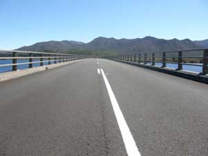
Crotty Dam road
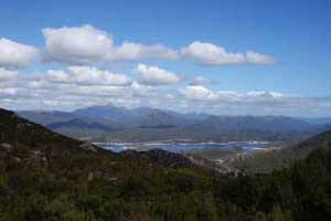
Lake Burbury & Frenchmans Cap