

Lake Geeves
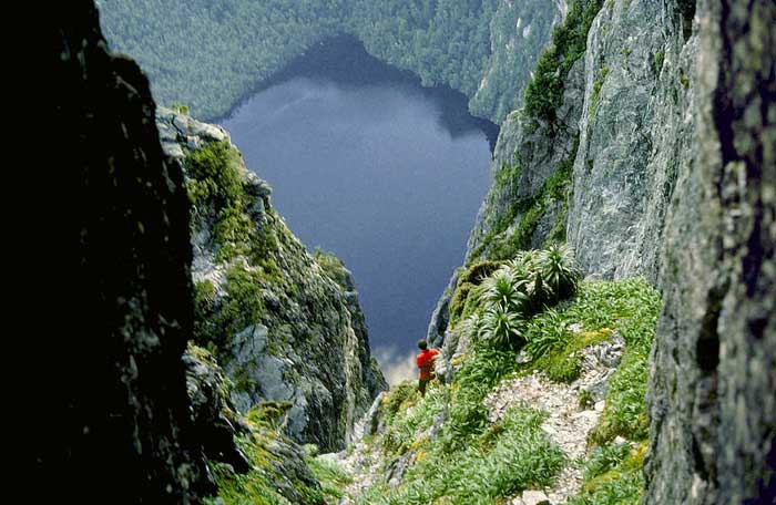
Lake Geeves from Federation Peak summit
Lake Geeves is one of 30 or so lakes nestled high and deep in the heart of south-west Tasmania's World Heritage Area. The lake is quite literally at the foot of Federation Peak - the drop from the top of this rocky crag to the lake below is an awe-inspiring 600 metres; this jagged chunk of solid quartzite is the biggest cliff face in Australia. The photo above was not taken from the top of Federation Peak but from about half way down Geeves Gully! Lake Geeves, like the town of the same name 45 Km south of Hobart, was named after an Englishman, William Geeves who arrived in the colony in 1842, and settled in Geeveston in response to a request from Lady Franklin for somebody to establish a church in the district.
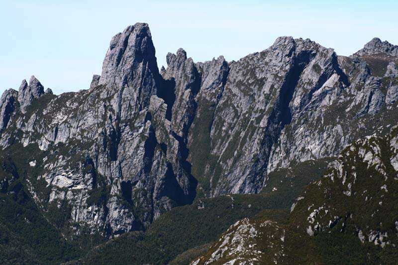
Federation Peak from Stuart Saddle
Nestled deep in the heart of the South-West Tasmania World Heritage Area, Federation Peak may not be the highest mountain in Tasmania, it is probably Australia's most recognisable and distinctive. The top is only 1300 metres above sea level, but its sharp spire, sheer cliffs of solid quartzite dropping an impressive 600 metres (the biggest cliff in Australia) into the coffee coloured waters of Lake Geeves, has made 'Federation' a major goal of many serious bushwalkers around Australia and the world. There are well worn tracks to the mountain but the weather and the steep terrain deter and often stop many would-be ascent parties.
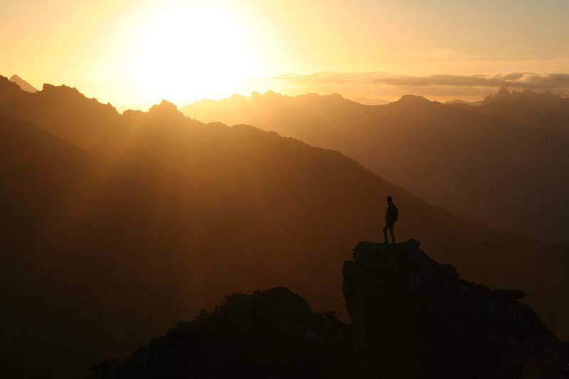
Federation Peak at dawn
While the peak is visible from much of Tasmania, it was not named until 1901. This was probably because many thought it was already named The Obelisk as some maps showed this. It was officially named in 1901 after the year of federation for the Commonwealth of Australia. For decades, Federation Peak remained unclimbed. After World War II, a small group of determined walkers, mainly from Tasmania, explored routes to the peak. They pooled their knowledge and in 1949, the peak was first climbed by a party from Victoria. This was only four years before men first reached the pinnacle of Mount Everest. Gradually, the tracks were improved and the peak became easier to approach. The tracks to the peak, such as they are, are still very rough climbing, and many cliffs are without any ladders or other aids.
How To Get There: There are several approaches. The main western one is from Scotts Peak and a regular bus service runs from Hobart to Scotts Peak, 3 days each week during summer. From Scotts Peak it is about 4 to 5 days walk to the peak. Many of the parties who use this approach return the same way to Scotts Peak. The other main approach is via Farmhouse Creek. This is the eastern approach and starts at the end of a very quiet gravel road which is 50 km off main roads. There is no regular bus service to the creek and either private transport or a bus or taxi charter are the only alternatives. It takes 2 to 3 days to approach the peak along this route.
Sunset at Federation Peak
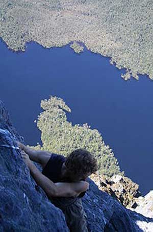
The climb down from Federation Peak to Lake Geeves