

Lake Mackintosh
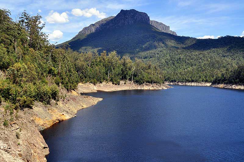
Lake Mackintosh is a 17.5-kilometre-long reservoir with a surface area of 3,100-hectare (7,700-acre) that forms part of the Pieman power development running north-south past Mount Farrell, adjacent to the town of Tullah in Tasmania. Fed by the damming of the Mackintosh, Sophia, Fury, Southwell, and Brougham rivers and Mackintosh Creek, water from the lake feeds Mackintosh Power Station through Lake Rosebery.
The lake was created in the 1980s and the main basin of the lake was originally a Button Grass swamp prior to inundation.
The Mackintosh River is part of the Pieman River catchment. Formed by the confluence of the Fury River and Mackintosh Creek, the Mackintosh River rises below Mount Remus, part of the northern section of the West Coast Range. The river flows a short distance through Lake Mackintosh, is joined by four tributaries including the Sophia River and Southwell River, before emptying into the Pieman River.
The Murchison River feeds into Lake Mackintosh through the Murchison Dam, to the south. The Murchison Highway borders the lake to the west. The Sophie River rises below Sophie Peak, part of the West Coast Range within the Granite Tor Conservation Area. The river flows generally west by north and reaches its confluence with the Mackintosh River within Lake Mackintosh. The river descends 187 metres (614 ft) over its 20-kilometre course.
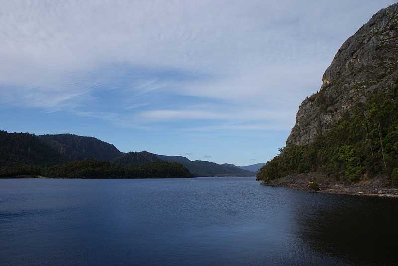
The Cradle Mountain-Lake St Clair National Park as a component part of the Tasmanian Wilderness World Heritage Area, has its western boundary lying to the east of the lake shores.
Lake Mackintosh is impounded by two dams, the main Mackintosh Dam and the smaller Tullibardine Dam. The lake's deepest point is roughly 60 metres (200 ft) deep at the base of the main dam. It is one of the larger sized water impoundments of the Pieman power scheme.
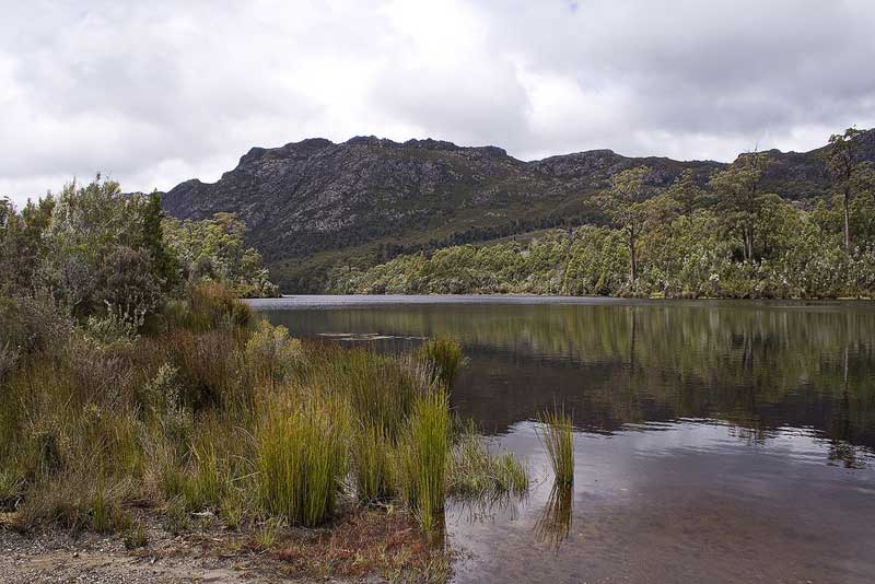
Tullibardine Dam
Hydrological measurements on this river by Hydro Tasmania began in 1955. The easternmost point of the river catchment is defined by Barn Bluff where it also borders with the Murchison River river catchment.[4] The southern portion of the catchment has a very narrow separation from the adjacent Murchison River, where the Sophia River is the main river. The northern side of Sophia river catchment, a creek known as White Hawk, drains ground with features known as Granite Tor, and High Tor, which lie due east of Tullah.
The northern Mackintosh catchment has a number of named tributaries. From the orientation of Mount Romulus, Fury River which originates near Barn Bluff, is the main eastern tributary. Mount Remus is drained to the south by Schist Creek which flows into the Fury River, and to the west, Devils Ravine. In the north east of the catchment area, Mayday Mountain is drained by Belvoir River. The north west area the Southwell River drains the eastern slopes of Mount Charles, which is north east of Mount Black.
Mackintosh Power Station is at Lake Mackintosh. Mackintosh has one turbine, with a generating capacity of 79.9MW of electricity. Mackintosh was constructed as a part of the Pieman River Power Development, between 1974 and 1987. The water discharged from Mackintosh flows into Lake Rosebery.olours of the deciduous beech. As well as a physical challenge, this walk is a true communion with nature. You'll see lakes, forests and gorges, mountains and moors, spectacular waterfalls and steep, stony peaks.