

Tasmania's Top Rail Trails
As in the other states of Australia, and indeed most developed countries of the world, railways were built across the Tasmanian countryside throughout the 19th century, but modern day road transport has made all but the main lines obsolete. The corridors the train lines followed were abandoned, but in recent times, a new use has been found for many of them - rail trails.
Rail trails are paths recycled from abandoned railway corridors. They can be used for walking, cycling and horse riding and are generally shared. Following the route of the railways, they cut through hills, under roads, over embankments and across gullies and creeks. The rails are usually removed when a railway is closed, but remnants of the past such as railway cuttings and bridges still remain. Most trails have a gravel or dirt surface suitable for walking, mountain bikes and horses.
Riding or walking rail trails have many advantages. The most obvious is you are not sharing the pathway with motor vehicles. Another is that they are prefect ways to see the countryside of a region you are visiting or passing through, as they link big and small country towns and meander through scenic countryside just as railways did in the past. Wineries and other attractions are often near many trails as well as B&B's and other great places to stay.
Every rail trail is different, but whether they are urban, rural or bush they all have one thing in common: gentle grades. Trains are not good at climbing hills, and railways avoid steep grades by contouring around hills, going through cuttings and tunnels and over bridges and embankment. Even the steepest gradients are gentle in comparison to some roads and tracks, which makes rail trails easy to pass over.
Apart from being great places to walk, cycle or horse ride, rail trails are linear conservation corridors protecting native plants and animals. They often link remnant vegetation in farming areas and contain valuable flora and fauna habitat.
Many local government and tourism organisations have put time, effort and money into developing their local rail trails, and provide trail notes and signposting to help travellers negotiate the trails. Often you can walk or ride the trail one way, and return by public transport. Some local tour operators will provide return transport.
Although the term rail trail is not officially used in Tasmania, the state has a reasonable collection of trails which follow old railway corridors, that makes them rail trails, irrespective of what one might chose to call them. Hobart and Devonport each have cycleways running parallel to operating railway lines. Tasmania's West Coast had a lot of railways serving the mines of the area which have now been converted to trails, and these are often the only means of accessing remore forest areas.
Rail trails are paths recycled from abandoned railway corridors. They can be used for walking, cycling and horse riding and are generally shared. Following the route of the railways, they cut through hills, under roads, over embankments and across gullies and creeks. The rails are usually removed when a railway is closed, but remnants of the past such as railway cuttings and bridges still remain. Most trails have a gravel or dirt surface suitable for walking, mountain bikes and horses.
Riding or walking rail trails have many advantages. The most obvious is you are not sharing the pathway with motor vehicles. Another is that they are prefect ways to see the countryside of a region you are visiting or passing through, as they link big and small country towns and meander through scenic countryside just as railways did in the past. Wineries and other attractions are often near many trails as well as B&B's and other great places to stay.
Every rail trail is different, but whether they are urban, rural or bush they all have one thing in common: gentle grades. Trains are not good at climbing hills, and railways avoid steep grades by contouring around hills, going through cuttings and tunnels and over bridges and embankment. Even the steepest gradients are gentle in comparison to some roads and tracks, which makes rail trails easy to pass over.
Apart from being great places to walk, cycle or horse ride, rail trails are linear conservation corridors protecting native plants and animals. They often link remnant vegetation in farming areas and contain valuable flora and fauna habitat.
Many local government and tourism organisations have put time, effort and money into developing their local rail trails, and provide trail notes and signposting to help travellers negotiate the trails. Often you can walk or ride the trail one way, and return by public transport. Some local tour operators will provide return transport.
Although the term rail trail is not officially used in Tasmania, the state has a reasonable collection of trails which follow old railway corridors, that makes them rail trails, irrespective of what one might chose to call them. Hobart and Devonport each have cycleways running parallel to operating railway lines. Tasmania's West Coast had a lot of railways serving the mines of the area which have now been converted to trails, and these are often the only means of accessing remore forest areas.
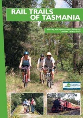
Rail Trails of Tasmania: Walking and Cycling Trails Following Former Railways
Railtrails Australia, 2003 - Cycling - 54 pages
Rail Trails of Tasmania covers 17 rail tails and includes: a quick summary of each trail to help you plan your visit; detailed descriptions including historical notes; two-colour scale topographic maps current and historical photographs.
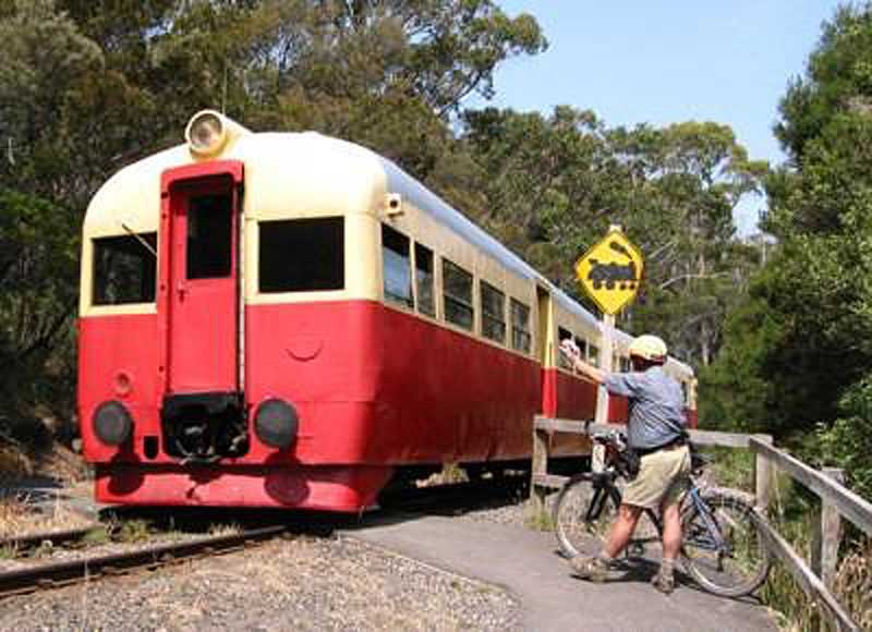
: you will see some of the nicest parts of Devonport when walking or cycling this rail trail. Parts of the trail runs parallel to the still-sed main line to Burnie, other parts follow the Don River tourist railway along a former tramway. Region: North West. Distance: 7.5 km one way.
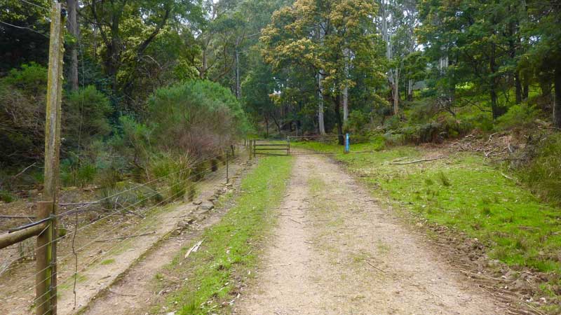
The main lifeline for the long-deserted Wielangta township in south-east Tasmania was a tramway out to the coast at Rheban. A section of this makes for a liesurely stroll along the SandSpit River mid-way between Copping and Orford. Man ferns galore and mossy patches of blackwood and sassafras made me feel quite at home. Wielangta Tramway Trail is a 6.5km, grade 3 One Way hike located in South Eastern Tasmania. The hike should take approximately 2 hours to complete. The trail follows the route of a former logging tram line so there are no steep hills. There are patches of rainforest and it is generally a lush environment even in mid-summer. Wielangta is a local Aboriginal name meaning 'tall trees'.
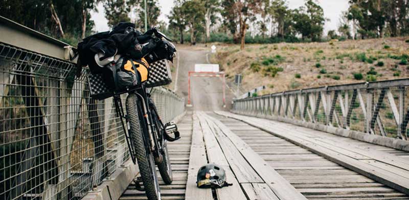
Part of the long distance Trasmanian Trail which runs 480km from Devonport to Dover, this trail traverses a variety of landscapes and offers good views of Mt Roland. It is a good day's ride on mountain bikes or a long day walk. Region: North West. Distance: 12km one way.
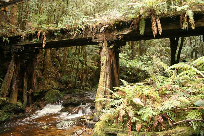
Traversing lush rainforest with leatherwood, myrtle and sassafras, this trail follows the former North East Dundas Tramway which ran from Zeehan to Williamsford, once a busy mining town but now slowly being reclaimed by the bush. The main feature is Montezuma Falls which, at 105 metres, is Tasmania's highest. Region: West coast. Distance: Williamsford to Falls, 5.5km; Falls to Melba Flats, 14km. More >>
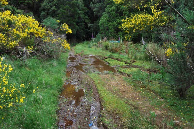
This trail begins 1.75km west of Waratah and traverses lush rainforest on its way to the Mount Magnet mine site. The mine site has relics to explore and good places to camp. You can create a circular route using local roads, particularly if cycling. A great walk if you have the time and energy. Region: West coast. Distance: 16km
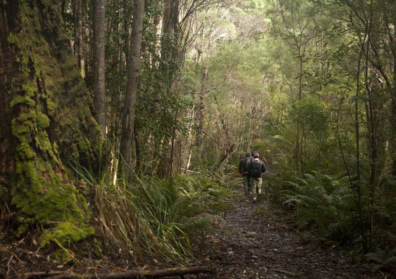
This trail is not far from the Ida Bay tourist railway, so you can include a trazin ride into your day out as well. The trail is in the World Heritage area, it is well marked and leads to an abandoned limestone quarry and to the entrance to Mystery Creek Cave, part of Ida Bay Caves. Glow worms can be seen around the entrance.