

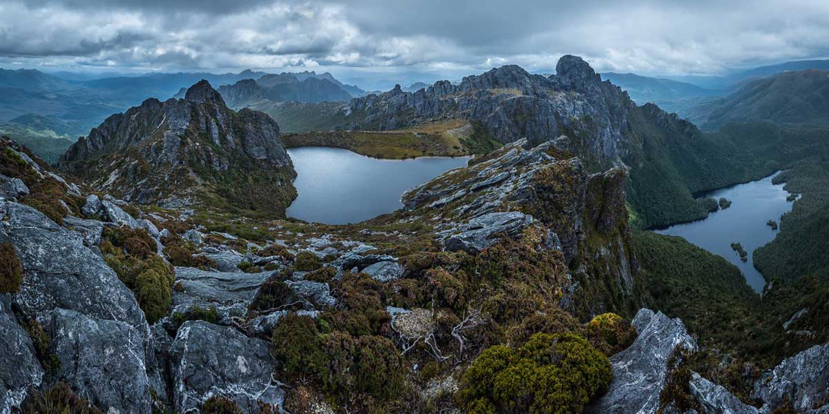
About Tasmania: Lakes
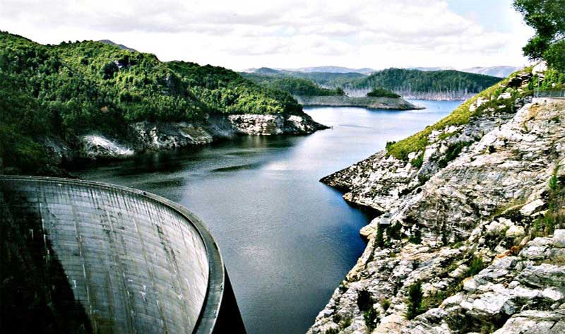
Lake Gordon: Lake Gordon is a man-made reservoir created by the Gordon Dam, located on the upper reaches of the Gordon River in the south-west region of Tasmania. The reservoir was formed in the early 1970s as a result of the dam construction by the Hydro-Electricity Commission of Tasmania in order to create an upper storage for the Gordon Power Station, the largest and most controversial hydro-electric power scheme in Tasmania. Additional dams were proposed for the lower Gordon River, however they were subject to political protest led by The Wilderness Society, most notably the Franklin Dam controversy during the early 1980s.

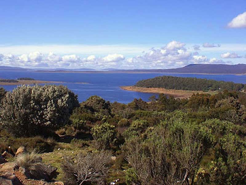
Great Lake: Great Lake, which is 22km long, has the distinction of being the highest lake in Australia and, until the HEC drowned Lake Pedder, it was also the largest freshwater lake in the country. It is a mecca for anglers, the trout fishing in Great Lake itself is excellent (as it is in most of the waters in this central highlands region) it is renowned for its summer 'hatches' of Highland Dun mayflies and the fat, speckled brown trout that dine greedily upon them.
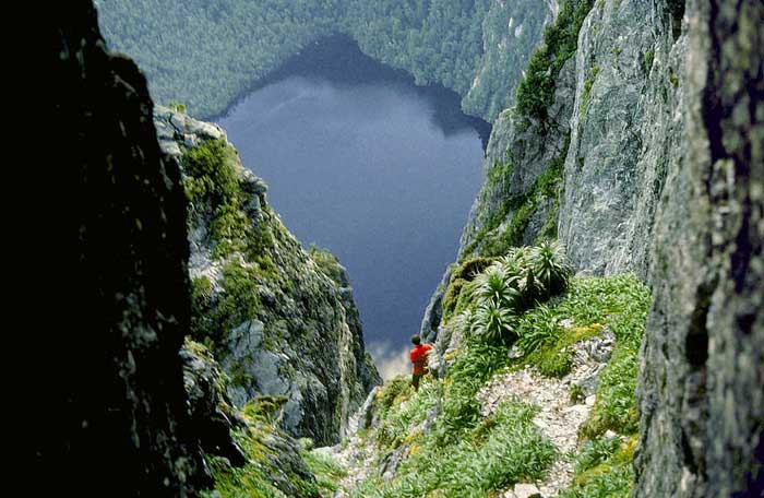
Lake Geeves: Lake Geeves is one of 30 or so lakes nestled high and deep in the heart of south-west Tasmania's World Heritage Area. The lake is quite literally at the foot of Federation Peak - the drop from the top of this rocky crag to the lake below is an awe-inspiring 600 metres; this jagged chunk of solid quartzite is the biggest cliff face in Australia.
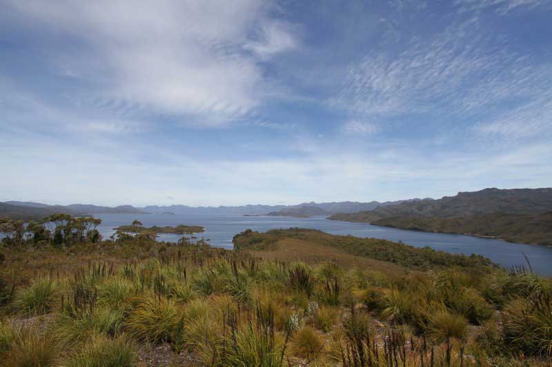
Lake Pedder: Lake Pedder, once a glacial outwash lake, is a man-made impoundment and diversion lake located in the southwest of Tasmania. In addition to its natural catchment from the Frankland Range, the lake is formed by the 1972 damming of the Serpentine and Huon rivers by the Hydro Electric Commission of Tasmania for the purposes of hydroelectric power generation. As a result, the flooded Lake Pedder now has a surface area of approximately 242 square kilometres (93 sq mi), making it Tasmania's second largest lake.
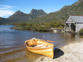
Dove Lake: Dove Lake lies beneath the towering spires of Cradle Mountain in Cradle Mountain - Lake St Clair National Park. The lake is easily accessed along the 6km Dove Lake Ciruit Track, which is one of Tasmania's most popular walks. The often-photographed boatshed that stands on the northwestern shores of Lake Dove was built in 1940 by the first Ranger at Cradle Mountain, Lionell Connell. The shed was built largely of King Billy pine. Although some restoration work was completed in 1983, the shed remains substantially unaltered from its original form.
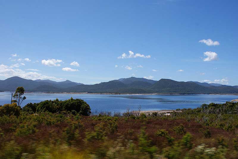
Crotty Dam and Lake Burbury: The upper portion of the King River valley was first surveyed for damming in 1917 by the Mount Lyell company. It was not until after the Franklin Dam issue of the 1980s that Hydro Tasmania proceeded to dam the valley. Lake Burbury was the name of the subsequently created lake over the valley, named after the first Australian born Governor of Tasmania, Stanley Burbury. The small timber mill community adjacent to the old alignment of the Lyell Highway was submerged, as was a significant portion of the old railway alignment of the North Mount Lyell Railway between Linda and Pillinger. The site of the townsite of Crotty, and the smelters of Crotty were also submerged.
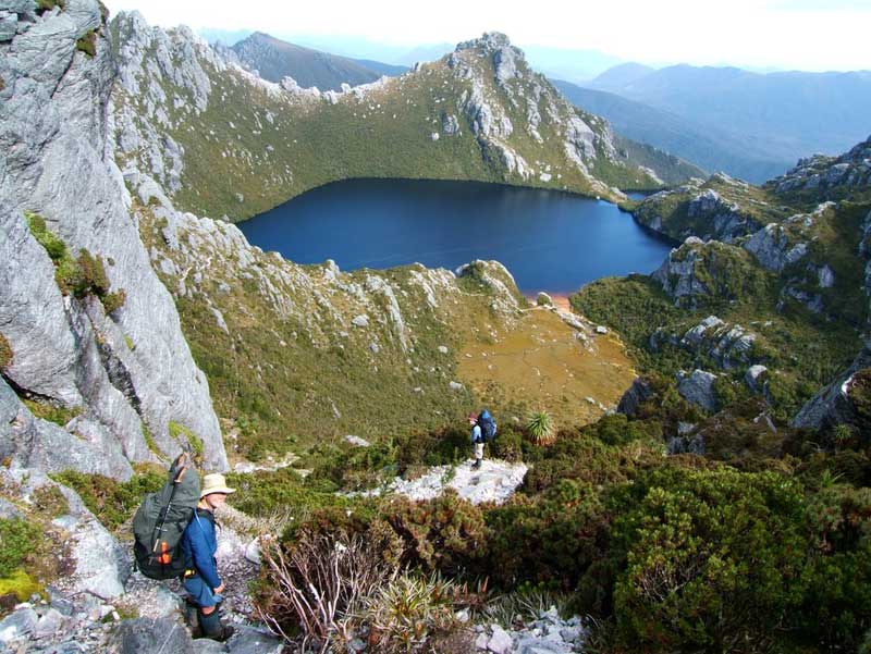
Lake Oberon: Like Lake Geeves, Lake Oberon is situated high in the West Arthur range in the wilderness area of south-western Tasmania. Many of the mountain lakes in the Arthurs are named after the planets and their satellites, the smaller after the asteroids and peaks after the constellations. For those who brave the elements and trek though the range, these names seem strangely appropriate, given the extra-terrestrial feeling one gets when hiking across the mountain tops of this breathtaking region. Few return believing there is another walk in Australia that can top this one.
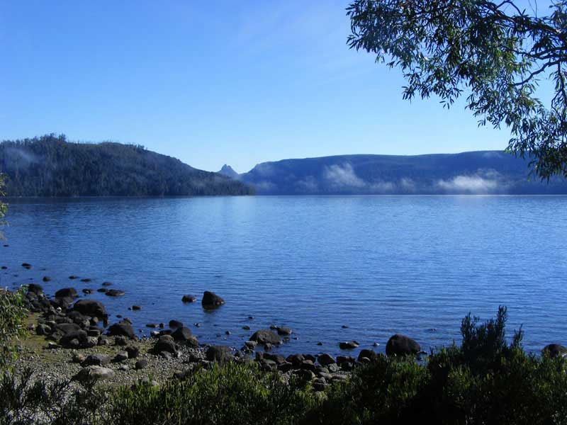
Lake St Clair: Carved out by ice during several glaciations, Lake St Clair is the deepest lake in Australia and the headwaters of the Derwent River, upon which the capital city of Tasmania is located. It has an area of 1,114 km2 , and a maximum depth of 200 m. The area around Lake St Clair offers a wealth of walks, ranging from leisurely strolls to overnight bushwalks, as well as beautiful forests to explore.
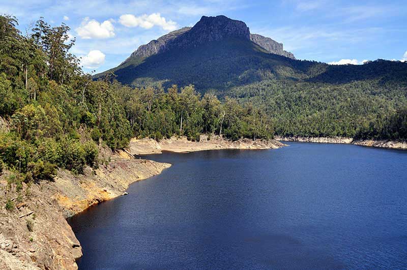
Lake Mackintosh: Lake Mackintosh is a 17.5-kilometre-long reservoir with a surface area of 3,100-hectare (7,700-acre) that forms part of the Pieman power development running north-south past Mount Farrell, adjacent to the town of Tullah in Tasmania. Fed by the damming of the Mackintosh, Sophia, Fury, Southwell, and Brougham rivers and Mackintosh Creek, water from the lake feeds Mackintosh Power Station through Lake Rosebery.
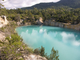
Little Blue Lake: Located on Gladstone Road, between Pioneer and Gladstone in North East Tasmania, Little Blue Lake is a remnant from mining in the area. It was once an alluvial tin mine, but has flooded after the mine was abandoned. The area has an extensive history of tin mining operations. Little Blue Lake is one of many similar lakes in the area, its pretty blue colour is caused when the white clay, exposed by tin mining operations, reflects the clear blue of the sky. Unfortunately the water is unsafe for drinking and swimming as it is high in aluminium, a mineral leached from the decomposing granite.
No one quite knows why but many people have a fascination for lighthouses. Every photographer has at least one dramatic shot of a lighthouse in his/her collection. Tourists love climbing them, in part for the view but perhaps also because they hold a strange fascination like no other man made structure. It could be that they represent something we all need, a light to guide us, a sentinel pointing the way in the middle of the storm. And when the storm blows away the lighthouse is still standing, silently awaiting the next storm when again it will shed its light, save a life and point he way.
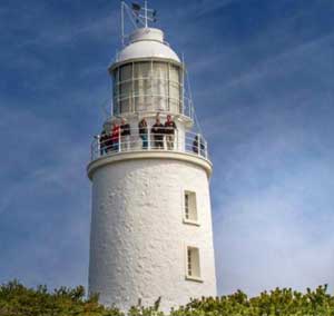
Cape Bruny Light
Australia is an island continent with an area of 7,682,300 square kilometres, or around 5.7% of the land surface of the earth. The coastline is 36,735 kilometres long, of which 2,833 km is in Tasmania. The state has 25 major lighthouses that were an integral part of this island's rugged scenic coastline from the earliest days of settlement. Some of Australia's most isolated lights are in this state. Australia's second oldest lighthouse, Iron Pot built in 1832, is located just off Tasmania's capital city, Hobart.
This is not a large number of lights for such a long coastline but then a large proportion of it is unpopulated and rarely visited by shipping. As is the case in most countries, there are no longer any manned lighthouses in Australia. The last was Maatsuyker Island in Tasmania and it was de-manned in December 1995.